History That Does Not Exist
A research team is exploring the impact of redevelopment on Conn’s host city.
New London’s storied history begins in the precolonial era, peaks at the height of the whaling industry, and then trails off almost completely. Even the history section of the city’s Wikipedia page ends after the 19th century, save for a few footnotes about the presence of the U.S. military.
“The 20th century is just glossed over,” said Assistant Professor of Art History and Architectural Studies Anna Vallye.
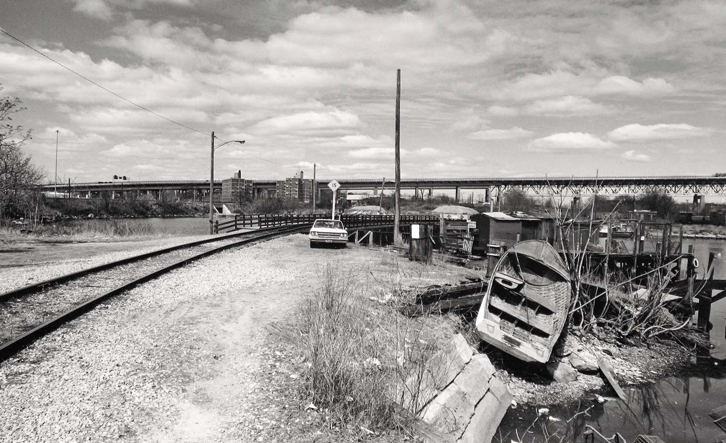
But New London offers a fascinating case study on the impact of urban renewal efforts on U.S. cities between the 1940s and 1970s. The Whaling City took full advantage of the federal programs designed to revitalize metropolitan areas, eventually demolishing nearly 700 homes and dramatically reshaping the urban landscape.
To investigate the impact of highway construction and urban renewal on New London, and particularly the Hodges Square and Winthrop Cove areas, Vallye, Linda Lear Special Collections Librarian Rose Oliveira and Director of Community Partnerships Kim Sanchez are working alongside students and in partnership with New London Landmarks on a year-long research project. The urban renewal research project is funded by the Council of Independent Colleges Humanities Research for the Public Good initiative, supported by The Andrew W. Mellon Foundation.
“It’s a fantastic challenge from an educational standpoint: writing a history that hasn’t yet been written,” Vallye said.
Students spent the fall semester poring over institutional records, newspapers, maps, plans, private papers and other primary source materials to reconstruct the complicated timeline of events.
Matt Baronas ’21, an environmental studies major and architectural studies minor, has been studying the relationship between urban renewal and highway construction, and in particular the construction of I-95, which cut off parts of the city—including the Connecticut College campus and Hodges Square—from the downtown area.
“I’m looking at what roads were built in New London, why they were built, how they connected to the interstate system and what impact they had on New London citizens at the time,” he said.
“By comparing aerial photographs, one can see what a massive undertaking the highway construction project was. There is a truly striking contrast in the layout of the city before and after the construction.”
Ted Hendrickson, Associate Professor Emeritus of Art, talks about photographing New London's Changing Landscape.
The research group also hosted a community dinner for New London residents who lived through the city’s transformation, and a public panel discussion featuring New London’s former city development administrator, who oversaw the later phases of the city’s urban renewal, as well as the executive director of the Southeastern Council of Governments and Lizabeth Cohen, a Harvard professor and author of Saving America’s Cities: Ed Logue and the Struggle to Renew Urban America in the Suburban Age.
“We are starting a conversation about what this moment was and how what was happening in New London fits into the broader context of urban renewal in America. There is a deep-seated community memory, and it’s been gratifying to see how much interest there is on all sides,” Vallye said.
“The students are realizing how little they know about the city they live in, and part of that is itself a product of urban renewal—the physical divide that exists between the campus and much of the city because of the highway, and disinvestment in public transportation, which exacerbated the divide. One person recalled skiing down the hill from the Lyman Allyn Art Museum all the way downtown, right through the area that is now a highway. These are human stories, and they really resonate.”
This spring, students in Vallye’s “Mapping Urban Renewal” course as well as student research assistants, including Baronas, will work with Beverly Chomiak, a senior lecturer in geology, to create Geographic Information System (GIS) maps of the geographical changes to the city, and with Professor Andrea Wollensak, director of the Ammerman Center for Arts and Technology, on data visualization.
The team is building a public website to showcase their work and planning a series of public events, including a launch event for the completed website.
Jennifer Wilson ’20, an architectural studies and art history double major, spent the fall semester researching which buildings were demolished and why, as well as which ones were deemed worthy of preservation during that period.
“Researching the good, the bad, the hopes and the failures of urban renewal in New London, I’ve found the city represents the realities of much of the nation at the time, a shift in distinct urban identities,” she said. “If we want to uncover the whole truth about urban renewal, we need to study cities like New London. Learning from our past, we can better understand the present landscape and make more informed decisions about the future.”
To learn more about this ongoing project, visit bit.ly/ccurbanrenewal, subscribe to the Mapping Urban Renewal YouTube channel and follow CCUrbanRenewal on Instagram.
